
Collpa topographic map
Interactive map
Click on the map to display elevation.
About this map
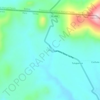
Name: Collpa topographic map, elevation, terrain.
Location: Collpa, Provincia de Tarata, Tacna, Perú (-17.32525 -69.61560 -17.28525 -69.57560)
Average elevation: 4,258 m
Minimum elevation: 4,171 m
Maximum elevation: 4,588 m