
Hepscheid topographic map
Interactive map
Click on the map to display elevation.
About this map
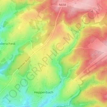
Name: Hepscheid topographic map, elevation, terrain.
Location: Hepscheid, Amel, Verviers, Luik, Wallonië, 4771, België (50.35768 6.20455 50.39768 6.24455)
Average elevation: 552 m
Minimum elevation: 474 m
Maximum elevation: 628 m
Other topographic maps
Click on a map to view its topography, its elevation and its terrain.