
Castle Hill Village topographic map
Interactive map
Click on the map to display elevation.
About this map
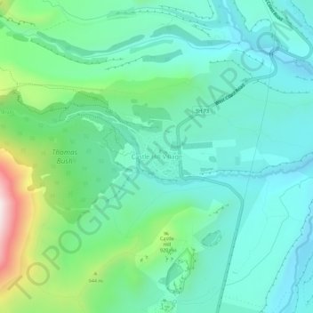
Name: Castle Hill Village topographic map, elevation, terrain.
Average elevation: 787 m
Minimum elevation: 627 m
Maximum elevation: 1,310 m
Selwyn District trails, hiking, mountain biking, running and outdoor activities
Other topographic maps
Click on a map to view its topography, its elevation and its terrain.