
Thank you for supporting this site ❤️
Make a donation
Make a donation
Amber topographic map
Click on the map to display elevation.
Thank you for supporting this site ❤️
Make a donation
Make a donation
About this map
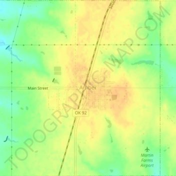
Name: Amber topographic map, elevation, terrain.
Location: Amber, Grady County, Oklahoma, 73004, United States (35.14562 -97.89941 35.17474 -97.86460)
Average elevation: 376 m
Minimum elevation: 357 m
Maximum elevation: 387 m
Thank you for supporting this site ❤️
Make a donation
Make a donation
Other topographic maps
Click on a map to view its topography, its elevation and its terrain.