
Thank you for supporting this site ❤️
Make a donation
Make a donation
Alpha topographic map
Click on the map to display elevation.
Thank you for supporting this site ❤️
Make a donation
Make a donation
About this map
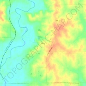
Name: Alpha topographic map, elevation, terrain.
Location: Alpha, Grundy County, Missouri, 64652, United States (39.96530 -93.44105 40.00530 -93.40105)
Average elevation: 243 m
Minimum elevation: 222 m
Maximum elevation: 266 m
Thank you for supporting this site ❤️
Make a donation
Make a donation
Other topographic maps
Click on a map to view its topography, its elevation and its terrain.