
Thank you for supporting this site ❤️
Make a donation
Make a donation
Hondsrug topographic map
Click on the map to display elevation.
Thank you for supporting this site ❤️
Make a donation
Make a donation
About this map
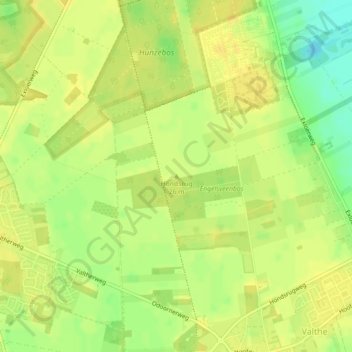
Name: Hondsrug topographic map, elevation, terrain.
Location: Hondsrug, Valthe, Borger-Odoorn, Drenthe, Nederland (52.85470 6.87337 52.85480 6.87347)
Average elevation: 22 m
Minimum elevation: 5 m
Maximum elevation: 29 m
Thank you for supporting this site ❤️
Make a donation
Make a donation