
Thank you for supporting this site ❤️
Make a donation
Make a donation
公坡镇 topographic map
Click on the map to display elevation.
Thank you for supporting this site ❤️
Make a donation
Make a donation
About this map
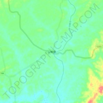
Name: 公坡镇 topographic map, elevation, terrain.
Location: 公坡镇, Wenchang, Hainan, China (19.75138 110.76408 19.83138 110.84408)
Average elevation: 19 m
Minimum elevation: 3 m
Maximum elevation: 63 m
Thank you for supporting this site ❤️
Make a donation
Make a donation