
Chatsworth topographic map
Interactive map
Click on the map to display elevation.
About this map
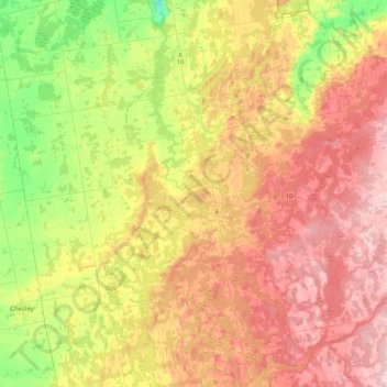
Name: Chatsworth topographic map, elevation, terrain.
Location: Chatsworth, Grey County, Ontario, Canada (44.28837 -81.10596 44.49624 -80.66178)
Average elevation: 317 m
Minimum elevation: 183 m
Maximum elevation: 453 m