
Thank you for supporting this site ❤️
Make a donation
Make a donation
Byars topographic map
Click on the map to display elevation.
Thank you for supporting this site ❤️
Make a donation
Make a donation
About this map
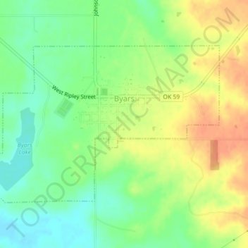
Name: Byars topographic map, elevation, terrain.
Location: Byars, McClain County, Oklahoma, United States (34.86197 -97.07187 34.88044 -97.03639)
Average elevation: 315 m
Minimum elevation: 293 m
Maximum elevation: 338 m
Thank you for supporting this site ❤️
Make a donation
Make a donation