
Thank you for supporting this site ❤️
Make a donation
Make a donation
Spaulding topographic map
Click on the map to display elevation.
Thank you for supporting this site ❤️
Make a donation
Make a donation
About this map
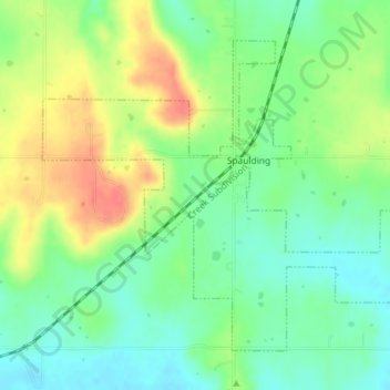
Name: Spaulding topographic map, elevation, terrain.
Location: Spaulding, Hughes County, Oklahoma, United States (34.99949 -96.45915 35.02309 -96.42302)
Average elevation: 251 m
Minimum elevation: 227 m
Maximum elevation: 286 m
Thank you for supporting this site ❤️
Make a donation
Make a donation