
Make a donation
Signal Hill topographic map
Click on the map to display elevation.
Make a donation
Signal Hill
Signal Hill (Maori: Te Pahuri o te Rangipohika) is a prominent landform in the city of Dunedin, New Zealand. It is located close to, and due north of, the head of the Otago Harbour and reaches an elevation of 393 m (1289 ft). The suburbs Ravensbourne, St. Leonards, and Opoho lie on its southern, eastern, and northwestern flanks, respectively. To the northwest is North East Valley, the thalweg of Lindsay Creek, a tributary of the Water of Leith. The southernmost spur of Signal Hill, Logan Point, has been extensively quarried for road gravel. State Highway 88 skirts the foot of the hill close to the edge of the Otago Harbour.
Make a donation
About this map
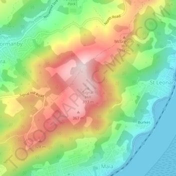
Name: Signal Hill topographic map, elevation, terrain.
Average elevation: 174 m
Minimum elevation: 0 m
Maximum elevation: 398 m
Dunedin City trails, hiking, mountain biking, running and outdoor activities
Make a donation