
Thank you for supporting this site ❤️
Make a donation
Make a donation
Front Royal topographic map
Click on the map to display elevation.
Thank you for supporting this site ❤️
Make a donation
Make a donation
About this map
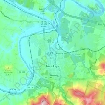
Name: Front Royal topographic map, elevation, terrain.
Location: Front Royal, Warren County, Virginia, United States (38.89164 -78.22068 38.96222 -78.14276)
Average elevation: 194 m
Minimum elevation: 132 m
Maximum elevation: 408 m
Thank you for supporting this site ❤️
Make a donation
Make a donation