
Nydam topographic map
Interactive map
Click on the map to display elevation.
About this map
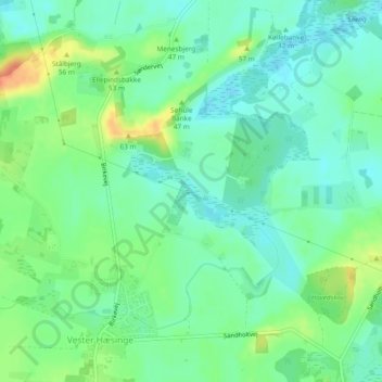
Name: Nydam topographic map, elevation, terrain.
Location: Nydam, Vester Hæsinge, Faaborg-Midtfyn Kommune, Dänemark (55.20343 10.25153 55.20884 10.26484)
Average elevation: 37 m
Minimum elevation: 22 m
Maximum elevation: 66 m