
Massena topographic map
Interactive map
Click on the map to display elevation.
About this map
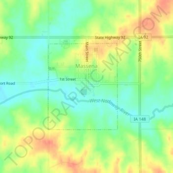
Name: Massena topographic map, elevation, terrain.
Location: Massena, Cass County, Iowa, 50853, United States (41.24394 -94.77704 41.25743 -94.76260)
Average elevation: 384 m
Minimum elevation: 360 m
Maximum elevation: 414 m
Other topographic maps
Click on a map to view its topography, its elevation and its terrain.
Griswold
United States > Iowa > Cass County
Griswold, Cass County, Iowa, United States
Average elevation: 334 m