
Thank you for supporting this site ❤️
Make a donation
Make a donation
Treece topographic map
Click on the map to display elevation.
Thank you for supporting this site ❤️
Make a donation
Make a donation
About this map
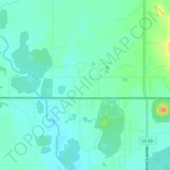
Name: Treece topographic map, elevation, terrain.
Location: Treece, Cherokee County, Kansas, 66778, United States (36.99090 -94.85328 37.01090 -94.83328)
Average elevation: 257 m
Minimum elevation: 247 m
Maximum elevation: 286 m
Thank you for supporting this site ❤️
Make a donation
Make a donation
Other topographic maps
Click on a map to view its topography, its elevation and its terrain.