
Thank you for supporting this site ❤️
Make a donation
Make a donation
Perumal Malai topographic map
Click on the map to display elevation.
Thank you for supporting this site ❤️
Make a donation
Make a donation
About this map
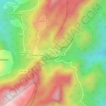
Name: Perumal Malai topographic map, elevation, terrain.
Location: Perumal Malai, Kodaikanal, Dindigul, Tamil Nadu, India (10.24567 77.52517 10.28567 77.56517)
Average elevation: 1,561 m
Minimum elevation: 1,140 m
Maximum elevation: 1,997 m
Thank you for supporting this site ❤️
Make a donation
Make a donation
Other topographic maps
Click on a map to view its topography, its elevation and its terrain.