
Thank you for supporting this site ❤️
Make a donation
Make a donation
Somopae topographic map
Click on the map to display elevation.
Thank you for supporting this site ❤️
Make a donation
Make a donation
About this map
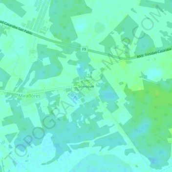
Name: Somopae topographic map, elevation, terrain.
Average elevation: 158 m
Minimum elevation: 154 m
Maximum elevation: 163 m
Thank you for supporting this site ❤️
Make a donation
Make a donation
Other topographic maps
Click on a map to view its topography, its elevation and its terrain.
Miraflores
Bolivia > Beni > Provincia de Marbán > Municipio San Andres > Miraflores
Average elevation: 158 m