
Mansfield topographic map
Interactive map
Click on the map to display elevation.
About this map
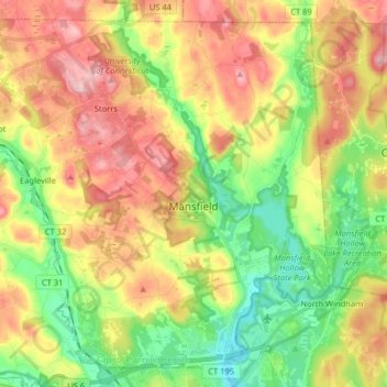
Name: Mansfield topographic map, elevation, terrain.
Location: Mansfield, Tolland County, Connecticut, United States (41.72809 -72.31674 41.83627 -72.15632)
Average elevation: 130 m
Minimum elevation: 49 m
Maximum elevation: 226 m