
San Vicente I topographic map
Interactive map
Click on the map to display elevation.
About this map
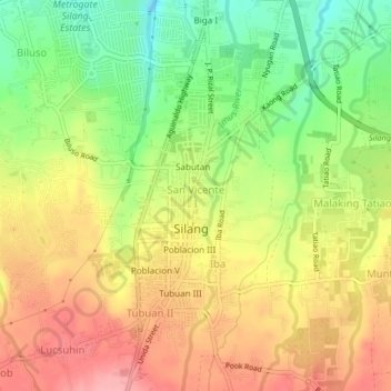
Name: San Vicente I topographic map, elevation, terrain.
Location: San Vicente I, Silang, Cavite, Calabarzon, 4118, Philippines (14.20692 120.95464 14.24692 120.99464)
Average elevation: 306 m
Minimum elevation: 244 m
Maximum elevation: 361 m
Other topographic maps
Click on a map to view its topography, its elevation and its terrain.