
Nigtevecht topographic map
Interactive map
Click on the map to display elevation.
About this map
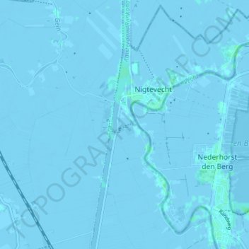
Name: Nigtevecht topographic map, elevation, terrain.
Location: Nigtevecht, Stichtse Vecht, Utrecht, Nederland (52.25010 5.01492 52.28932 5.06590)
Average elevation: -1 m
Minimum elevation: -6 m
Maximum elevation: 4 m