
Bacolod-Kalawi topographic map
Interactive map
Click on the map to display elevation.
About this map
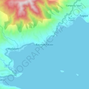
Name: Bacolod-Kalawi topographic map, elevation, terrain.
Location: Bacolod-Kalawi, Lanao del Sur, Bangsamoro, Philippines (7.81768 124.10236 7.89768 124.18236)
Average elevation: 854 m
Minimum elevation: 693 m
Maximum elevation: 1,779 m
Other topographic maps
Click on a map to view its topography, its elevation and its terrain.