
Thank you for supporting this site ❤️
Make a donation
Make a donation
Hi Roc Shores topographic map
Click on the map to display elevation.
Thank you for supporting this site ❤️
Make a donation
Make a donation
About this map
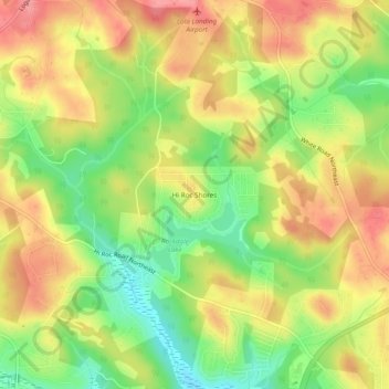
Name: Hi Roc Shores topographic map, elevation, terrain.
Average elevation: 242 m
Minimum elevation: 193 m
Maximum elevation: 285 m
Thank you for supporting this site ❤️
Make a donation
Make a donation
Other topographic maps
Click on a map to view its topography, its elevation and its terrain.
Lakeview Estates
United States > Georgia > Rockdale County > Lakeview Estates
Average elevation: 244 m
Georgia International Horse Park
United States > Georgia > Rockdale County > Conyers
Average elevation: 217 m
Thank you for supporting this site ❤️
Make a donation
Make a donation