
南区 topographic map
Interactive map
Click on the map to display elevation.
About this map
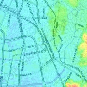
Name: 南区 topographic map, elevation, terrain.
Location: 南区, Nagoya, Préfecture d'Aichi, Japon (35.06841 136.90045 35.11819 136.94957)
Average elevation: 6 m
Minimum elevation: -3 m
Maximum elevation: 41 m
Other topographic maps
Click on a map to view its topography, its elevation and its terrain.