
Ouled Djellal topographic map
Interactive map
Click on the map to display elevation.
About this map
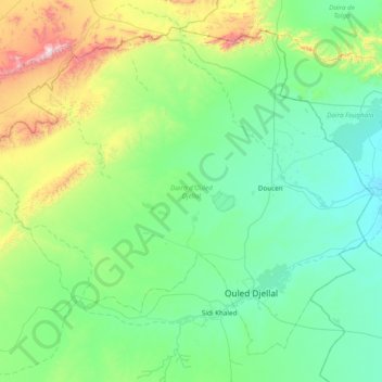
Name: Ouled Djellal topographic map, elevation, terrain.
Location: Ouled Djellal, Biskra, RADP (34.32180 4.54241 34.86253 5.30825)
Average elevation: 345 m
Minimum elevation: 116 m
Maximum elevation: 1,308 m