
Tres Mezquites topographic map
Interactive map
Click on the map to display elevation.
About this map
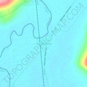
Name: Tres Mezquites topographic map, elevation, terrain.
Location: Tres Mezquites, José Sixto Verduzco, Michoacán, México (20.24204 -101.64765 20.28204 -101.60765)
Average elevation: 1,694 m
Minimum elevation: 1,681 m
Maximum elevation: 1,820 m