
Town of Queensbury topographic map
Interactive map
Click on the map to display elevation.
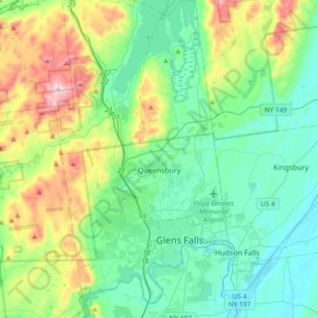
Town of Queensbury topographic map, elevation, terrain
About this map
Name: Town of Queensbury topographic map, elevation, terrain.
Location: Town of Queensbury, Warren County, New York, United States (43.25210 -73.76442 43.48635 -73.59488)
Average elevation: 203 m
Minimum elevation: 34 m
Maximum elevation: 714 m