
Firozabad topographic map
Interactive map
Click on the map to display elevation.
About this map
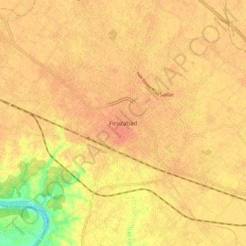
Name: Firozabad topographic map, elevation, terrain.
Location: Firozabad, Uttar Pradesh, 283203, India (27.11280 78.35914 27.19280 78.43914)
Average elevation: 162 m
Minimum elevation: 134 m
Maximum elevation: 170 m