
Ur topographic map
Interactive map
Click on the map to display elevation.
About this map
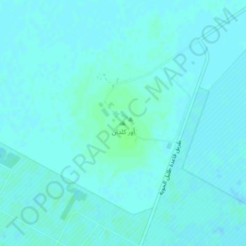
Name: Ur topographic map, elevation, terrain.
Location: Ur, Nasiriyah, Dhi Qar Governorate, Iraq (30.96071 46.10597 30.96081 46.10607)
Average elevation: 6 m
Minimum elevation: 4 m
Maximum elevation: 11 m
Other topographic maps
Click on a map to view its topography, its elevation and its terrain.
Nasiriyah
Iraq > Dhi Qar Governorate > Nasiriyah
Nasiriyah, Dhi Qar Governorate, 176219, Iraq
Average elevation: 5 m