
Miranda topographic map
Click on the map to display elevation.
About this map
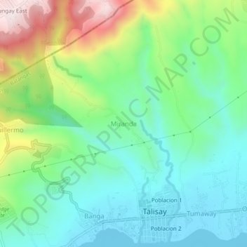
Name: Miranda topographic map, elevation, terrain.
Location: Miranda, Talisay, Batangas, Calabarzon, 4220, Philippines (14.08814 120.99662 14.12814 121.03662)
Average elevation: 184 m
Minimum elevation: 3 m
Maximum elevation: 602 m