
Thank you for supporting this site ❤️
Make a donation
Make a donation
Sawtooth City topographic map
Click on the map to display elevation.
Thank you for supporting this site ❤️
Make a donation
Make a donation
About this map
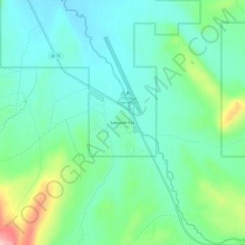
Name: Sawtooth City topographic map, elevation, terrain.
Location: Sawtooth City, Blaine County, Idaho, United States (43.88429 -114.81619 43.92429 -114.77619)
Average elevation: 2,219 m
Minimum elevation: 2,163 m
Maximum elevation: 2,385 m
Thank you for supporting this site ❤️
Make a donation
Make a donation
Other topographic maps
Click on a map to view its topography, its elevation and its terrain.
Bellevue
United States > Idaho > Blaine County
Bellevue is located at 43°27′54″N 114°15′24″W / 43.46500°N 114.25667°W / 43.46500; -114.25667 (43.465019, -114.256755), at an elevation of 5,170 feet (1,576 m) above sea level.
Average elevation: 1,667 m
Thank you for supporting this site ❤️
Make a donation
Make a donation