
Uling topographic map
Interactive map
Click on the map to display elevation.
About this map
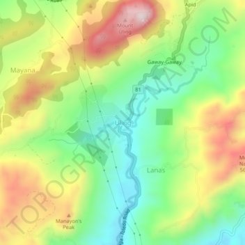
Name: Uling topographic map, elevation, terrain.
Location: Uling, Naga, Cebu, Central Visayas, Philippines (10.26019 123.69152 10.30019 123.73152)
Average elevation: 314 m
Minimum elevation: 94 m
Maximum elevation: 613 m
Other topographic maps
Click on a map to view its topography, its elevation and its terrain.
Mount Uling
Philippines > Cebu > Naga
Mount Uling, Naga, Cebu, Central Visayas, Philippines
Average elevation: 333 m