
Vostok Island topographic map
Interactive map
Click on the map to display elevation.
Vostok Island topographic map, elevation, terrain
About this map
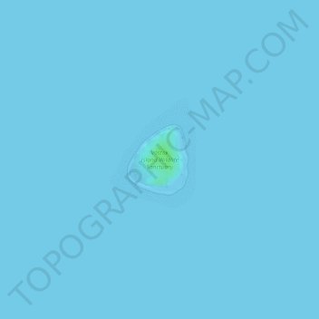
Name: Vostok Island topographic map, elevation, terrain.
Location: Vostok Island, Line Islands, Kiribati (-10.06506 -152.31536 -10.05911 -152.31013)
Average elevation: 0 m
Minimum elevation: -1 m
Maximum elevation: 7 m