
Grey River topographic map
Interactive map
Click on the map to display elevation.
About this map
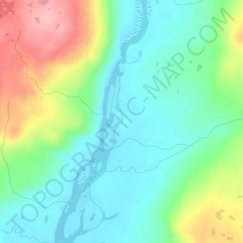
Name: Grey River topographic map, elevation, terrain.
Location: Grey River, Newfoundland and Labrador, Canada (47.85593 -56.99078 47.85812 -56.98940)
Average elevation: 227 m
Minimum elevation: 180 m
Maximum elevation: 326 m
Other topographic maps
Click on a map to view its topography, its elevation and its terrain.