
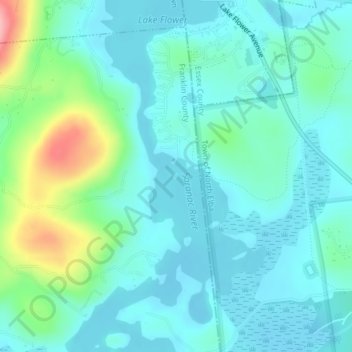
Honeymoon Island topographic map
Interactive map
Click on the map to display elevation.
About this map
Name: Honeymoon Island topographic map, elevation, terrain.
Average elevation: 489 m
Minimum elevation: 461 m
Maximum elevation: 597 m
Other topographic maps
Click on a map to view its topography, its elevation and its terrain.
Essex County
United States of America > New York
Essex County is in the northeastern part of New York state, just west of Vermont along the eastern boundary of the state. The eastern boundary of Essex County is Lake Champlain, which serves as the New York – Vermont border at an elevation of just under 100 feet (30.5 m). The highest natural point in New…
Average elevation: 418 m
Westchester
United States of America > New York
At 987 feet (301 m), the highest elevation in the county is a U.S. Coast and Geodetic Survey benchmark known as "Bailey" in Mountain Lakes Park near the Connecticut state line. The lowest elevation is sea level, along both the Hudson and Long Island Sound.
Average elevation: 95 m
Saratoga County
United States of America > New York
Saratoga County is situated in the eastern portion of New York, north of Albany, northwest of Troy, and east of Utica. According to the U.S. Census Bureau, the county has a total area of 844 square miles (2,190 km2), of which 810 square miles (2,100 km2) are land and 34 square miles (88 km2) (4.0%) are covered…
Average elevation: 218 m