
Gällivare kommun topographic map
Interactive map
Click on the map to display elevation.
About this map
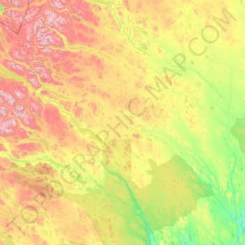
Name: Gällivare kommun topographic map, elevation, terrain.
Location: Gällivare kommun, Norrbotten County, Sweden (66.27859 16.73254 68.11881 22.19896)
Average elevation: 451 m
Minimum elevation: 29 m
Maximum elevation: 2,015 m
Other topographic maps
Click on a map to view its topography, its elevation and its terrain.