
Waipū topographic map
Interactive map
Click on the map to display elevation.
About this map
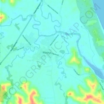
Name: Waipū topographic map, elevation, terrain.
Location: Waipū, Whangārei District, Northland, 0510, New Zealand (-36.02501 174.40750 -35.94501 174.48750)
Average elevation: 19 m
Minimum elevation: -1 m
Maximum elevation: 174 m
Whangarei District trails, hiking, mountain biking, running and outdoor activities
Other topographic maps
Click on a map to view its topography, its elevation and its terrain.