
Hauraki Gulf topographic map
Interactive map
Click on the map to display elevation.
About this map
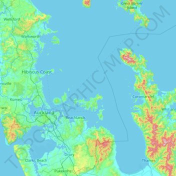
Name: Hauraki Gulf topographic map, elevation, terrain.
Location: Hauraki Gulf, Waiheke, Auckland, New Zealand (-37.23028 174.59144 -36.18201 175.54662)
Average elevation: 55 m
Minimum elevation: -1 m
Maximum elevation: 852 m
Auckland trails, hiking, mountain biking, running and outdoor activities
Other topographic maps
Click on a map to view its topography, its elevation and its terrain.