
Scarborough topographic map
Interactive map
Click on the map to display elevation.
Scarborough
The climate is temperate with mild summers and cool, windy, winters. The hottest months of the year are July and August, with temperatures reaching an average high of 17 °C and falling to 11 °C at night. The average daytime temperatures in January are 4 °C, falling to 1 °C at night. The station's elevation of 110 metres (360 ft) is far above sea level compared to the immediate coastline, where the climate is likely slightly milder year round.
About this map
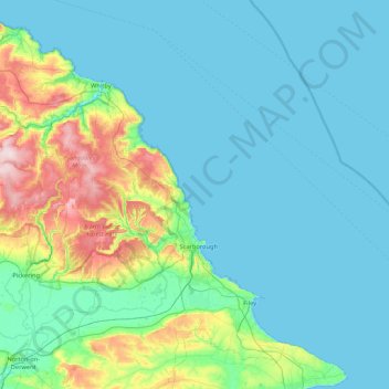
Name: Scarborough topographic map, elevation, terrain.
Average elevation: 50 m
Minimum elevation: 0 m
Maximum elevation: 323 m