
Schmieden topographic map
Interactive map
Click on the map to display elevation.
About this map
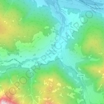
Name: Schmieden topographic map, elevation, terrain.
Average elevation: 1,426 m
Minimum elevation: 1,124 m
Maximum elevation: 2,182 m
Other topographic maps
Click on a map to view its topography, its elevation and its terrain.
Pragser Wildsee
Italien > Trentino-Südtirol > Bozen > Prags
Pragser Wildsee, Prags, Pustertal, Bozen, Trentino-Südtirol, Italien
Average elevation: 1,744 m