
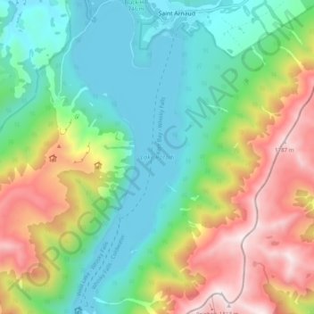
Lake Rotoiti topographic map
Interactive map
Click on the map to display elevation.
About this map
Name: Lake Rotoiti topographic map, elevation, terrain.
Average elevation: 1,031 m
Minimum elevation: 614 m
Maximum elevation: 1,805 m
Other topographic maps
Click on a map to view its topography, its elevation and its terrain.
Lake Rotoiti
New Zealand > Tasman > Saint Arnaud
Lake Rotoiti, Saint Arnaud, Tasman, New Zealand
Average elevation: 1,031 m