
Kopuku topographic map
Interactive map
Click on the map to display elevation.
About this map
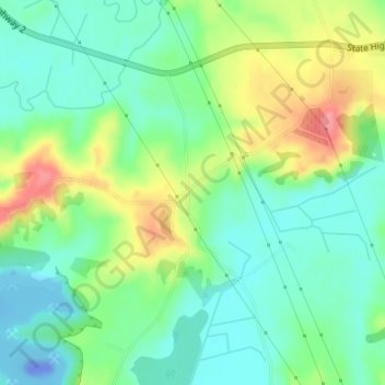
Name: Kopuku topographic map, elevation, terrain.
Location: Kopuku, Waikato District, Waikato, 2471, New Zealand (-37.26638 175.18101 -37.24638 175.20101)
Average elevation: 31 m
Minimum elevation: -44 m
Maximum elevation: 92 m
Waikato District trails, hiking, mountain biking, running and outdoor activities
Other topographic maps
Click on a map to view its topography, its elevation and its terrain.