
Thank you for supporting this site ❤️
Make a donation
Make a donation
Kintbury topographic map
Click on the map to display elevation.
Thank you for supporting this site ❤️
Make a donation
Make a donation
About this map
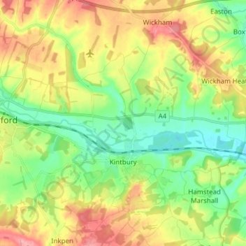
Name: Kintbury topographic map, elevation, terrain.
Location: Kintbury, West Berkshire, England, United Kingdom (51.37265 -1.50248 51.45051 -1.41051)
Average elevation: 122 m
Minimum elevation: 81 m
Maximum elevation: 177 m
Thank you for supporting this site ❤️
Make a donation
Make a donation
Other topographic maps
Click on a map to view its topography, its elevation and its terrain.