
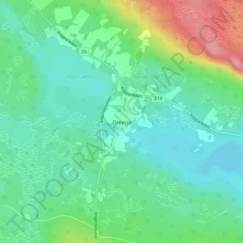
Drevsjø topographic map
Interactive map
Click on the map to display elevation.
About this map
Name: Drevsjø topographic map, elevation, terrain.
Location: Drevsjø, Engerdal, Innlandet, 2443, Noruega (61.86286 12.01058 61.90286 12.05058)
Average elevation: 684 m
Minimum elevation: 655 m
Maximum elevation: 770 m
Other topographic maps
Click on a map to view its topography, its elevation and its terrain.