
Åmot topographic map
Interactive map
Click on the map to display elevation.
About this map
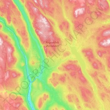
Name: Åmot topographic map, elevation, terrain.
Location: Åmot, Innlandet, Noruega (61.01513 10.95775 61.50719 11.91609)
Average elevation: 543 m
Minimum elevation: 203 m
Maximum elevation: 1,033 m
Other topographic maps
Click on a map to view its topography, its elevation and its terrain.