
Marker topographic map
Interactive map
Click on the map to display elevation.
About this map
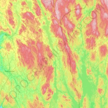
Name: Marker topographic map, elevation, terrain.
Location: Marker, Viken, Norway (59.29818 11.49227 59.67722 11.82153)
Average elevation: 166 m
Minimum elevation: 53 m
Maximum elevation: 316 m
Other topographic maps
Click on a map to view its topography, its elevation and its terrain.