
Thank you for supporting this site ❤️
Make a donation
Make a donation
Laxmipur topographic map
Click on the map to display elevation.
Thank you for supporting this site ❤️
Make a donation
Make a donation
About this map
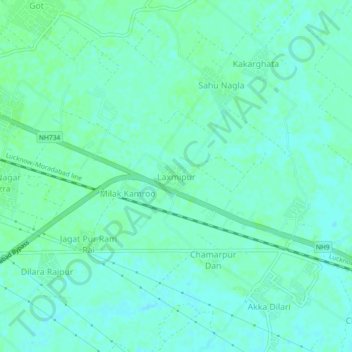
Name: Laxmipur topographic map, elevation, terrain.
Location: Laxmipur, Moradabad, Uttar Pradesh, India (28.81212 78.83199 28.85212 78.87199)
Average elevation: 192 m
Minimum elevation: 188 m
Maximum elevation: 195 m
Thank you for supporting this site ❤️
Make a donation
Make a donation
Other topographic maps
Click on a map to view its topography, its elevation and its terrain.