
Cucungara topographic map
Interactive map
Click on the map to display elevation.
About this map
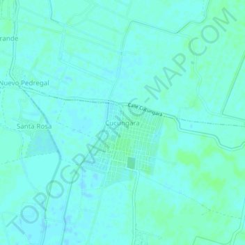
Name: Cucungara topographic map, elevation, terrain.
Location: Cucungara, Cura Mori, Piura, Perú (-5.34026 -80.68366 -5.30026 -80.64366)
Average elevation: 21 m
Minimum elevation: 18 m
Maximum elevation: 25 m
Other topographic maps
Click on a map to view its topography, its elevation and its terrain.