
Lengpui topographic map
Interactive map
Click on the map to display elevation.
About this map
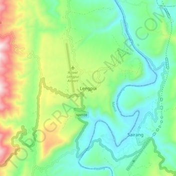
Name: Lengpui topographic map, elevation, terrain.
Location: Lengpui, Reiek, Mamit, Mizoram, 796410, India (23.79141 92.58877 23.87141 92.66877)
Average elevation: 325 m
Minimum elevation: 57 m
Maximum elevation: 932 m