
Thank you for supporting this site ❤️
Make a donation
Make a donation
Village of Valley Stream topographic map
Click on the map to display elevation.
Thank you for supporting this site ❤️
Make a donation
Make a donation
Village of Valley Stream
At this time, the community did not have a post office, so residents had to pick up their mail in the village of Hempstead. After Pagan petitioned authorities for a post office, he was appointed postmaster and it was based in his farmhouse, now known as the Pagan-Fletcher House. He was advised that the community needed a name. Pagan chose "Valley Stream" based on the topographical appearance of the area. In 1843, the U.S. Post Office formally accepted the name of Valley Stream. As a consequence, Pagan is credited with naming the community. Pagan died on March 25, 1870.
Thank you for supporting this site ❤️
Make a donation
Make a donation
About this map
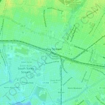
Name: Village of Valley Stream topographic map, elevation, terrain.
Average elevation: 7 m
Minimum elevation: -4 m
Maximum elevation: 15 m
Thank you for supporting this site ❤️
Make a donation
Make a donation