
Manganui River topographic map
Interactive map
Click on the map to display elevation.
About this map
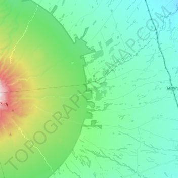
Name: Manganui River topographic map, elevation, terrain.
Average elevation: 527 m
Minimum elevation: 228 m
Maximum elevation: 1,568 m
Other topographic maps
Click on a map to view its topography, its elevation and its terrain.
Midhirst
Midhirst, Stratford District, Taranaki, 4332, New Zealand
Average elevation: 342 m